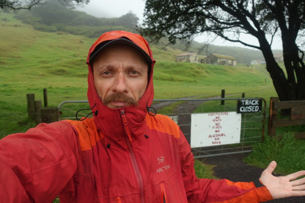
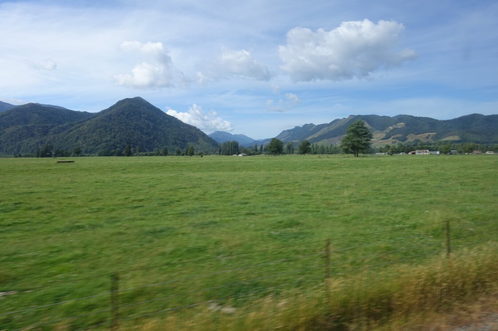
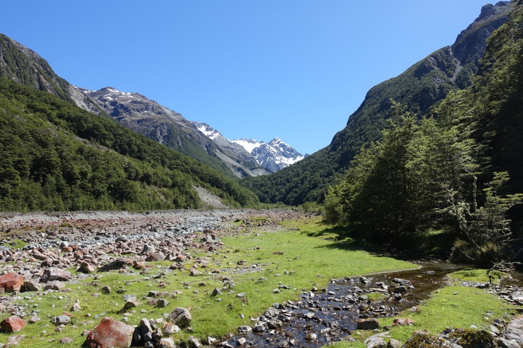
On Monday morning 9th January I prepared to hike Volcano Ruapehu. I was up quite early and it was sought to be a very nice day. The weather forecast already showed this fine weather window a week ago. Hence, I made first my trip to the East Cape, which I though is only a short hike, and I could do also in miserable weather (in the end I couldn’t do it at all). I was lucky anyway, because one week later the Gisborne region was flooded again when Ex-Cyclone Hale hit. Initially I thought I stop with the train in Ohakune, climb the volcano, and then just take the next train. The first issue is, that the train only stops a few times a week (ok, one could manage that), but then the more severe one is that there is no public transport to the Turoa Village. Well, nice name but basically it’s just the end of the road 20km from Ohakune at the Turoa Ski Area. One could’ve taken the bicycle up the hill, but I didn’t have one either, and hitch-hiking to a dead-end road is always a bit risky. So, in the end of the day, I used my rented car and drove up the mountain on early Monday morning. I already could see the summit. There was only a few clouds to the east with prevailing westerly winds. It would be a perfect day to climb.


When I arrived at the gigantic car park, there was no other car. I assume that even in winter season, when Ohakune is full of tourists, everyone drives those 40 km return each day in their own car, as there is no ski bus available. And nobody would come with the train, on an electrified railway, anyway, because it would be too inconvenient. Hence, everyone goes on the road in their individual car. Good on you NZ. Volcano Ruapehu has several volcanic vents, and I climbed Tahurangi the highest one. The carpark is at about 1630m elevation. For the next 400m you basically follow a gravel road through the ski resort. All the houses and bars are empty. The ski resort in summer looks like a ghost town and everything looks run down. After the last Café for the skiers, you follow a narrow track easily to the last top station of the chair lift which is at about 2300 m. This took me about 2h to get there.


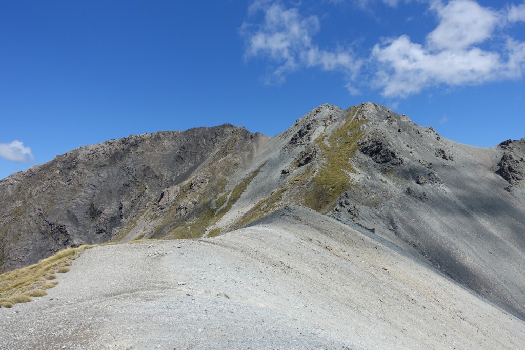
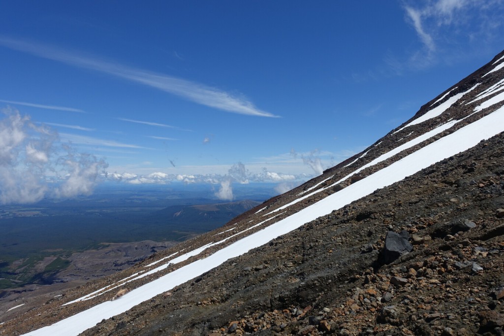
Now the tricky part starts. After the top station you need to cross a southside neve field which is about 40m wide. In the early morning the neve was still hard. I could see and old track, but as I had no crampons or ice axe with me, I was super careful and made sure each step I made was solid. The last 1.5m of the neve was blue ice. I saw a big rock glued into the ice about 2m above me. I made two steps up, then made sure the rock was really solid in the ice, and not just on top, and then I used it as hold and made a big bridging step to the right. Now that was the first tricky part. I followed the ridgeline, but it was wide and more like a mountain spine. There was a glacier to my right, but no necessity to step onto it. And some other neve or snowfields could be easily circumvented.


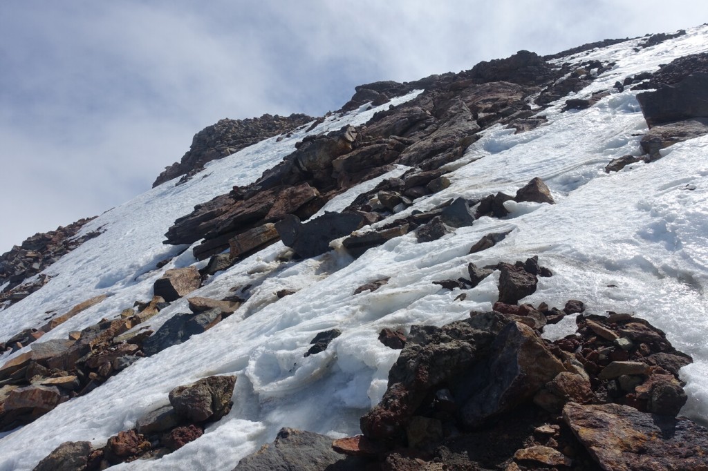
The last maybe 100m to gain the main crater ridge became again a bit tricky. There were some loose rocks just on top of blue ice. And the blue ice was in between solid rocks. So, there was 1 or 2 delicate steps to get from one solid point to the next one, without having crampons. I made sure every step was save, and when using had snow as step, that I’m not slipping away. After this passage I was basically on the main ridge line. I packed out my down jacket, as it was super windy. On top the wind already blew away the snow. Hence, the last 10min to the summit were quite easy, except that you don’t want to fly away by the wind. The summit was just amazing. About 400m below me was the turquoise crater lake. It was partly covered in clouds, and depending on the wind gusts opened up the view a bit more or less. I couldn’t see Lake Taupō, as the good weather was only on the western side, whereas to the north-east it was still overcasted at about the altitude of the summit. While I was looking around the mountain crater, I thought it would’ve been possible to do a full traverse, with a bit more preparation incl. crampons and ice axes. But this would even more complicated from a logistics point of view as someone need you to pickup at the Iwikau village on the other side of the mountain (and if it is as populated as the Turoa Village, then good luck). I returned the same way as I ascended. The loose rocks were the same difficulty, but the neve field was now much softer and easier to cross. Once I was back at the carpark a few more tourists drove by and made some pictures before returning. I used one of the fix installed tables at the base station of the ski resort, one of the workers looked at me but didn’t say anything, to turn on the kettle and have a coffee and late lunch before driving down the mountain. Well driving, I just put the gear shift into neutral and literally rolled all the 20km down the mountain into Ohakune. That was my lowest fuel consumption at all. Unfortunately, the car was not a hybrid and couldn’t store the break energy. Back in Ohakune it was a warm summer day, so I treated myself to an ice cream.


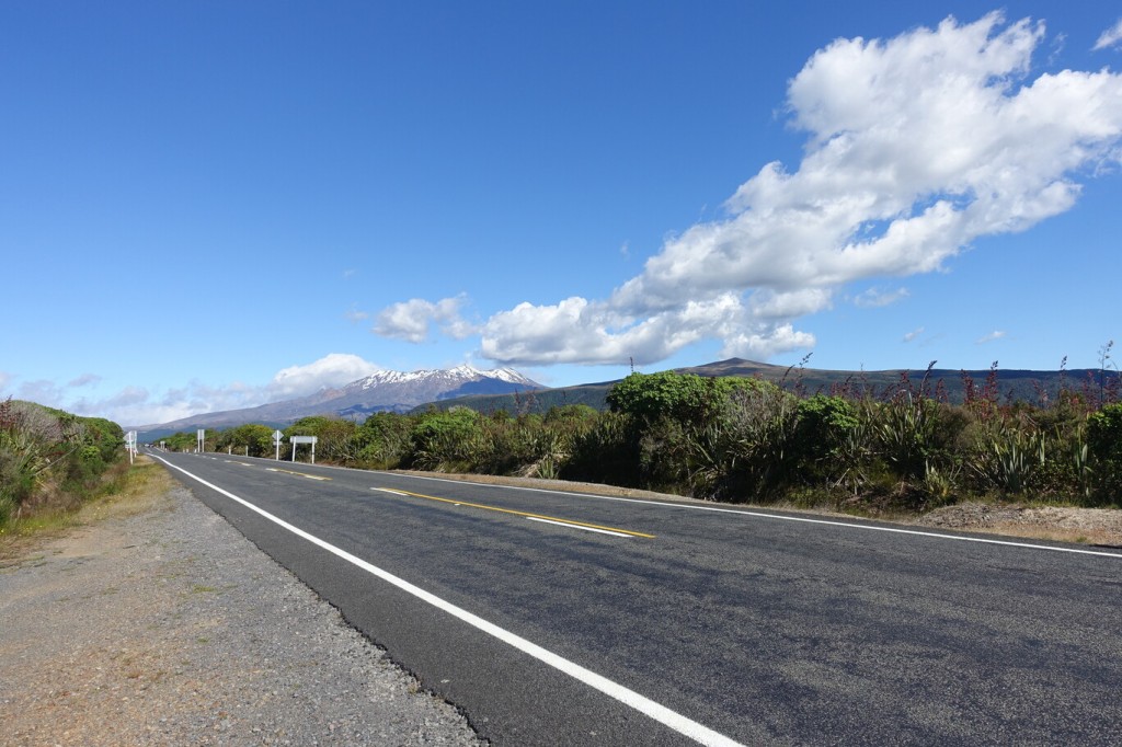
I continued my drive to the North in the late afternoon. I circumvented basically the Volcano Ruapehu on its western side. I still could see my ascent route to Tahurangi from the distance, and the neve fields I needed to cross. I stopped at the memorial of the last spike of the North Island Main Trunk which was driven in on the 6th November 1908 and completed the railway line from Auckland to Wellington. Shortly afterwards is the massive Makatote Viaduct over the Makatote River. Shortly before National Park I turned to the East. From here I had some last nice views of Volcano Ruapehu and with the much lower Volcano Hauhungatahi in front of it.


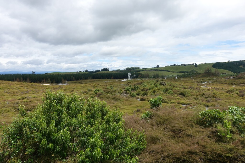
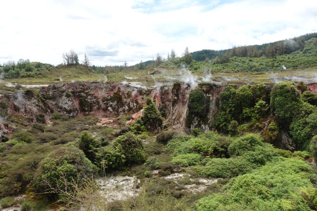
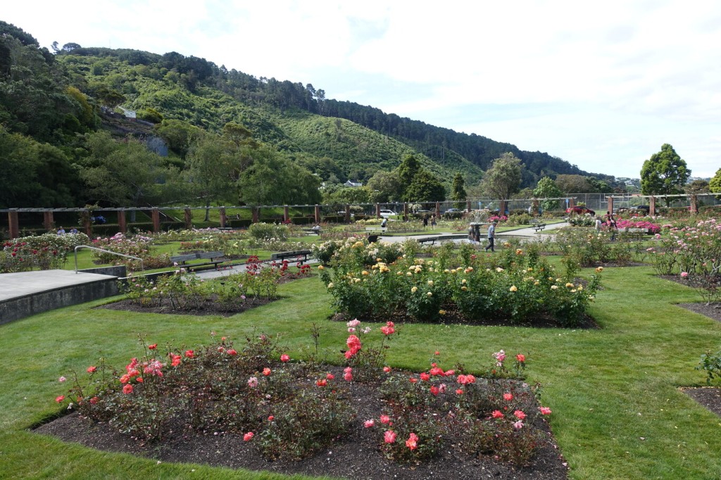
I followed the road towards Lake Taupō. I made a brief stop at a lookout on top of the lake with the Tokaanu Power Station and its tailrace canal below me. I continued my drive on the Western Shore of Lake Taupō to Waihaha River, which is a start point of the Great Lake Trail. There was only one other car was parked on the carpark (for pickup once finished cycling I suppose), but I could see donuts on the gravel ground, and was more afraid of stone chipping on my rental car when the bogans come in the night. But lucky me, it was Friday night and nobody else turned up. I had a short walk in the evening along the Waihaha river to the nearby bridge to enjoy the tranquillity. The carpark had also an open shelter with a simple bench. Perfect to make dinner and have breakfast.